Project Leader(s)
James Shepherd
Manaaki Whenua Landcare Research
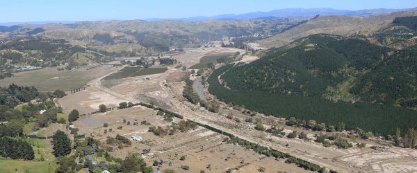
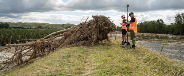
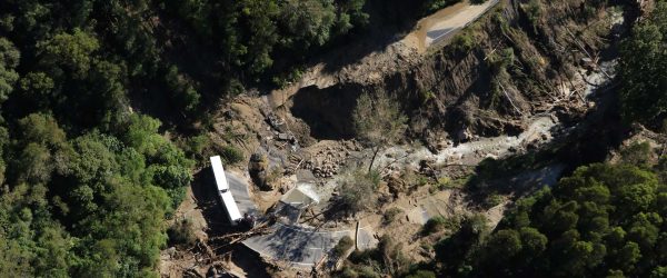
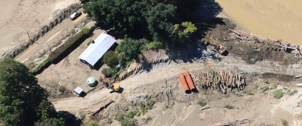
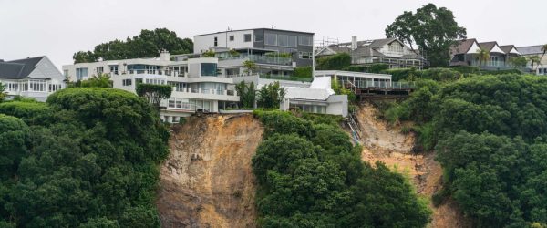
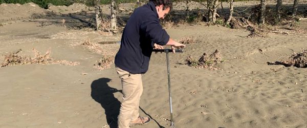
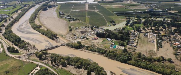
Visual analysis showed that severe landsliding occurred in Gisborne, Hawke’s Bay, and northern Wairarapa. The mass of soil eroded was estimated as well as the cost. Of the 115 million tonnes of soil estimated to be eroded by landslides, approximately half would have entered waterways, and approximately 30% of that would have been deposited on floodplains. Further work will focus on finer resolution erosion zones mapping to assist in defining impacts and recovery options.
Related projects