Project Leader(s)
Sarah McDermott
NIWA
Contributing Organisations

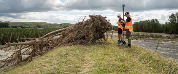
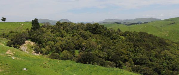
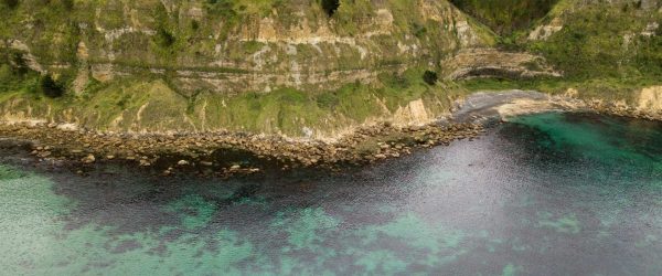
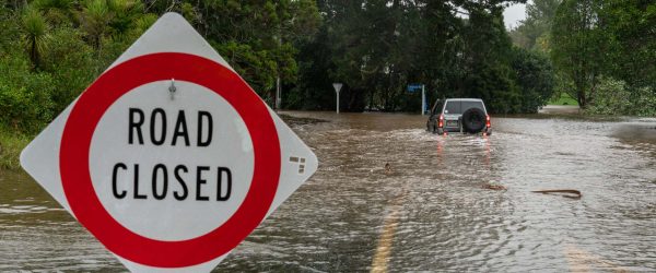
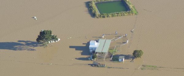
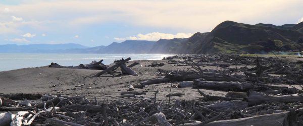
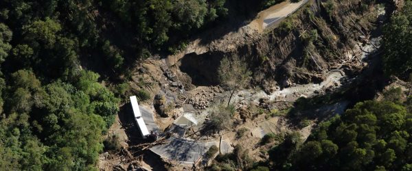
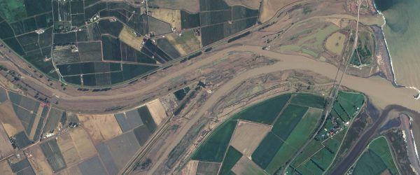
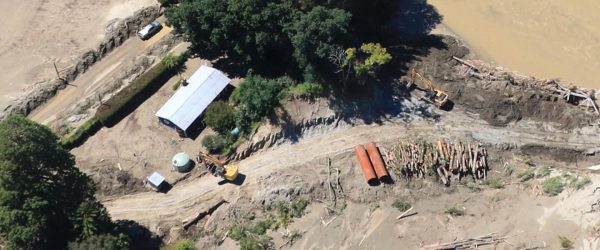
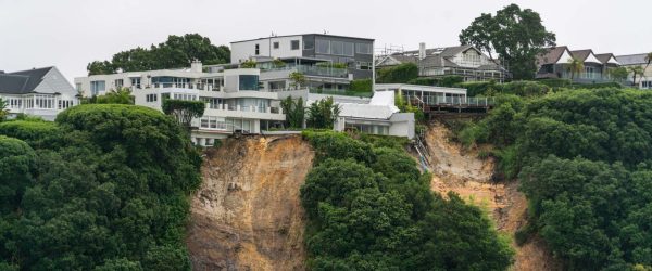
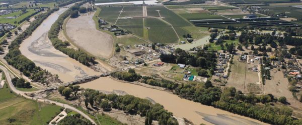
Sustainable long-term recovery of impacted communities and sectors needs to be informed by a sound understanding of present and future risk from multiple natural hazards. Regional geospatial imagery and LiDAR can assist in building a clearer picture of the full extent of the damage and longer-term impacts. The data has significant benefits:
- Access to high resolution imagery allows for analysis such as environmental impact assessment, past with present comparison mapping, and identifying affected rural properties/communities.
- Overlaying with additional layers like roads, rainfall over a period can help assess the nature of the impact and future risks, and possible interventions.
The LiDAR collection is focussed on priority locations in the Hawkes Bay and Tairāwhiti regions. Aerial imagery will cover a broader North Island cyclone-affected areas, beginning with areas where no imagery exists.
In this project, NIWA is working with providers of remote sensing data and ensuring all such data is provided to Land Information New Zealand (LINZ). It will be hosted on LINZ data infrastructure and made freely available to the public for at least 5 years.
Related projects