Project Leader(s)
Chris Massey
GNS Science
Kerry Leith
GNS Science
Contributing Organisations


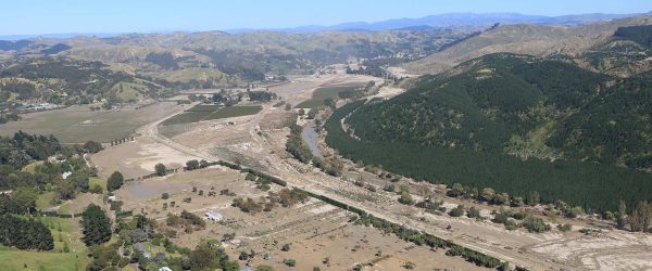
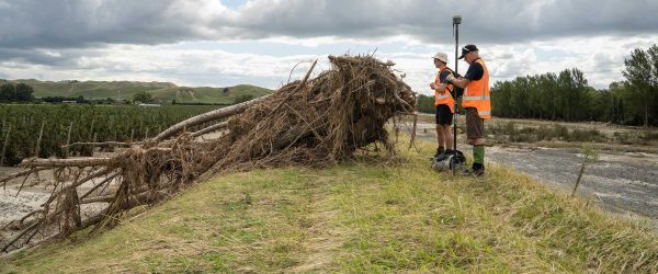
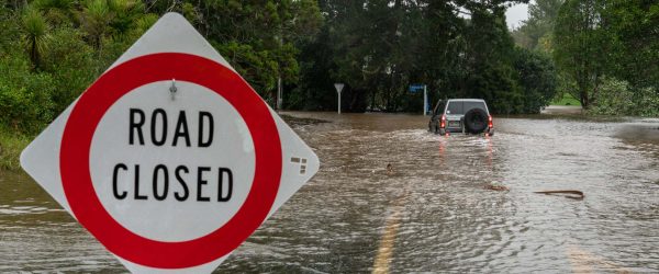
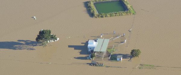
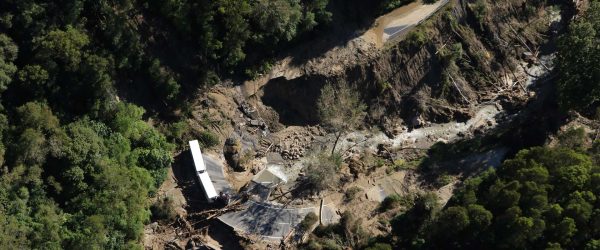
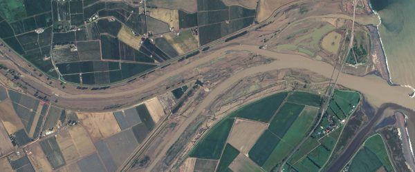
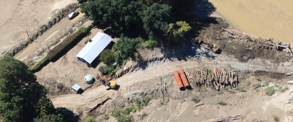
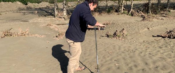
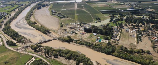
Ex-Tropical Cyclone Gabrielle triggered over 100,000 landslides across the North Island damaging houses, power lines, bridges, roads and creating dams across channels. This is potentially the largest landslide-triggering event on record in Aotearoa. Our response required development of new landslide mapping and modelling approaches in order to collate the landslide data. This novel approach provides stakeholders with a timely and sufficient level of spatial and positional accuracy about landslide occurrence and severity – where landslides could occur, did occur and might occur again in the future.
Resource Outputs from this project
Presentation
Presentation slides from ‘Reducing Future Extreme Weather Impacts in Aotearoa New Zealand’ webinar
Webinar presentation slides presenting key findings from the Extreme Weather Research Platform (EWRP).
Webinar
Reducing Future Extreme Weather Impacts in Aotearoa New Zealand
Researchers from the Extreme Weather Research Platform (EWRP) present their key findings.
Related projects