State
Phase 2

Duration
2019 – 2024
Budget / Funding
$478000
Project Leader(s)
Anna Kaiser
GNS Science
Chris Massey
GNS Science
Vision
Land-use planning in Aotearoa New Zealand is supported by reliable forecasts of how local landforms can affect ground-shaking and increase the risk of landslides.
Project description
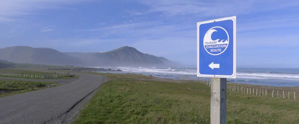
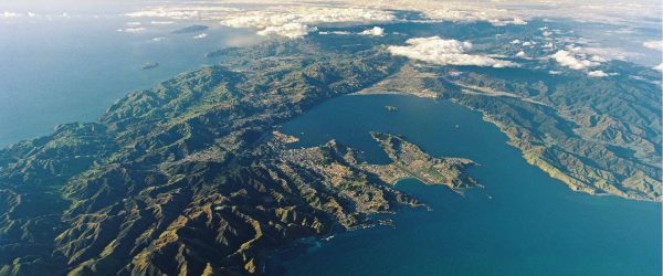
We know that the shape and nature of local landforms can affect the amount of ground shaking in an earthquake, which in turn can trigger landslides. But our understanding of these factors has been limited by the short history of observed earthquake activity in Aotearoa New Zealand, and by the incomplete evidence in the geological record.
We aim to apply the synthetic earthquake catalogue developed in the Fault Model Construction project team to improve hazard forecasting by understanding how local landforms can increase ground shaking and the risk of landslides.
To achieve this, we are:
- developing models for ground motion estimates of a suite of earthquakes in the synthetic catalogue.
- assessing the landslide triggering potential of virtual earthquakes from the catalogues by comparing the ground motions caused by historical landslide-inducing events with synthetic earthquakes in the catalogue.
- investigating the role of local landform shapes and types in affecting the amount of ground shaking and causing landslides.
The research team will work closely with researchers in the Earthquake Induced Landslides Endeavour research programme. Our goal is to improve Aotearoa New Zealand’s resilience to earthquakes by improving our understanding and forecasting of the factors that affect the amount of ground shaking and cause landslides.
Resource Outputs from this project
Article
Introduction to the Kaikōura earthquake special issue
This special issue presents a collection of 12 papers on the 2016 Mw 7.8 Kaikōura Earthquake.
Webinar
Next Generation Earthquake & Tsunami Hazard and Response
Researchers have used earthquake cycle simulators to overcome many of the challenges posed by limited modern observations of large earthquakes.
Article
Geomorphic Impacts of Large Earthquakes
Davies, TRH, Stahl TS. 2020. Geomorphic impacts of large earthquakes. In: Treatise on geomorphology. 2nd ed. Amsterdam (NL): Elsevier. Submitted.
Related projects