Student profile: Becca Fraser
11/12/2018
Rural resilience : A geospatial story
A bit about me
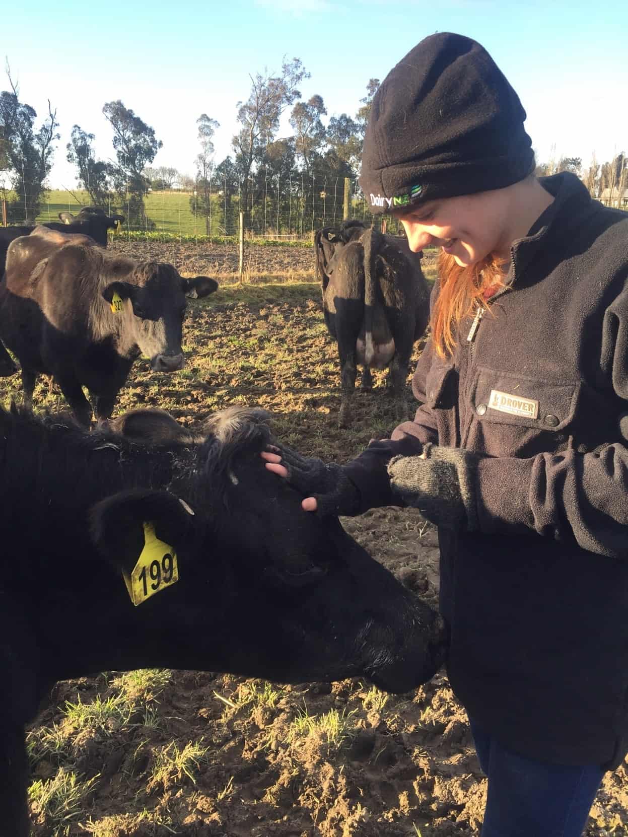 I was born and raised in Auckland with five other siblings, and with strong ties to rural family in the South Island.
My interest in disasters began as I was nearing the end of my undergraduate degree in geology and anthropology at The University of Auckland. I have always been driven towards understanding how communities and people connect to each other, and how a deeper understanding of what makes up a community contributes to the wider picture of resilience. While I love the physical science aspect of geology, I think the anthropological modus operandi of collecting the narratives of people and communities is valuable in exploring the dynamic intersections between disasters and humans.
Moving to Christchurch to study in the Master of Disaster, Risk and Resilience programme was a way of combining these interests, allowing me to explore the impacts of hazards on people and places. Through this programme I was given the exciting opportunity to work on an internship with Tom Wilson (University of Canterbury) and Nick Cradock-Henry (Manaaki Whenua-Landcare Research) aimed at improved understandings of rural resilience through geospatial data visualisation, leading into a thesis in 2019.
My project
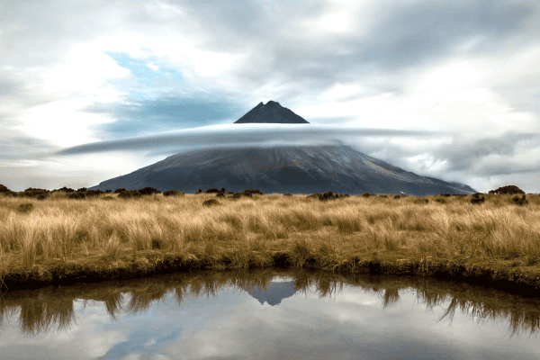
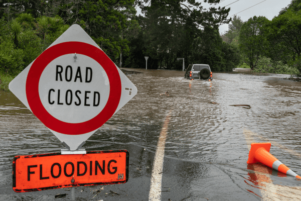
My project is focused on building a geospatial atlas describing and visualising aspects of disaster resilience in New Zealand’s rural communities. New Zealand’s rural communities are an essential part of our national identity, but face a variety of natural hazards which can cause a range of social and economic impacts. We are beginning to understand what factors can increase and decrease disaster resilience within our rural communities. Some are simple, such as remaining connected to friends and family (support networks), and some are complex. Recovery potential for example is often reliant on a business’ health prior to a disaster. But this information can form a powerful communication and decision-support tool for pre- and post-disaster planning by rural households and other disaster decision makers. My project is attempting to visualise some of these types of data in the form of informatics and maps, with the intention of empowering individuals and organisations to make better resilience decisions.
The questions my study aims to answer are:
- What is rural New Zealand? – Where are rural communities located; what is their gender, ethnic and demographic makeup; what jobs do they have; and how has this changed over time? Has this been affected by policy, social and economic changes? And if so, how?
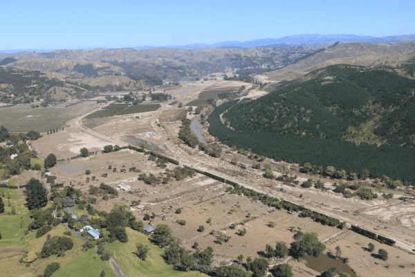
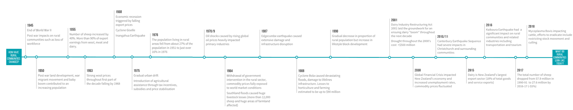
- How might rural New Zealand be affected by natural hazard disasters? – Where are natural hazards in New Zealand; what are the short and long term impacts of disasters for rural NZ, including drought, snow, storm, earthquake; and what might be the potential impacts of future climate variations?
- Can we assess rural resilience? – Utilising geospatial data sets to track temporal change in rural communities and the state of rural resilience currently. These datasets include population, demographic change such as median workforce age change over time, economic indicators and even land use changes
I have drawn on the Resilience Challenge Trajectories Toolbox work to frame and develop this project and its future outputs. Trajectories research on resilience indicators, and how these contribute to the development of rural New Zealand as well as the work that has gone into building effective resilience data within the New Zealand specific context continues to guide the direction and scope of my project.
My project ties in with the Resilience Challenge Rural Co-Creation Laboratory, which is dedicated to finding solutions to enhance and understand the resilience of rural New Zealand, and to better protect and enable these communities to thrive. The project serves as a complementary link between the two research programmes and allows me to draw on many different researchers for expertise and assistance.
Next steps
In relation to my project, I am currently working on increasing engagement with the Data Integration and Visualisation en masse (DIVE) platform. The DIVE Platform is aimed at facilitating online data cataloguing, sharing and collaboration of New Zealand resilience data, and is intended to enable integrated and engaged research that will enhance New Zealand’s resilience to hazards. This ties in closely with my Rural Resilience/Indicators project.I am currently working on developing valuable and effective data visualisations to help build a Rural Resilience atlas.
I am excited about the future direction of this project using contemporary and emerging information techniques to help tell a story and making a positive contribution toward the understanding of rural resilience.