By Sarah McDermott, NIWA
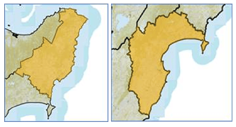
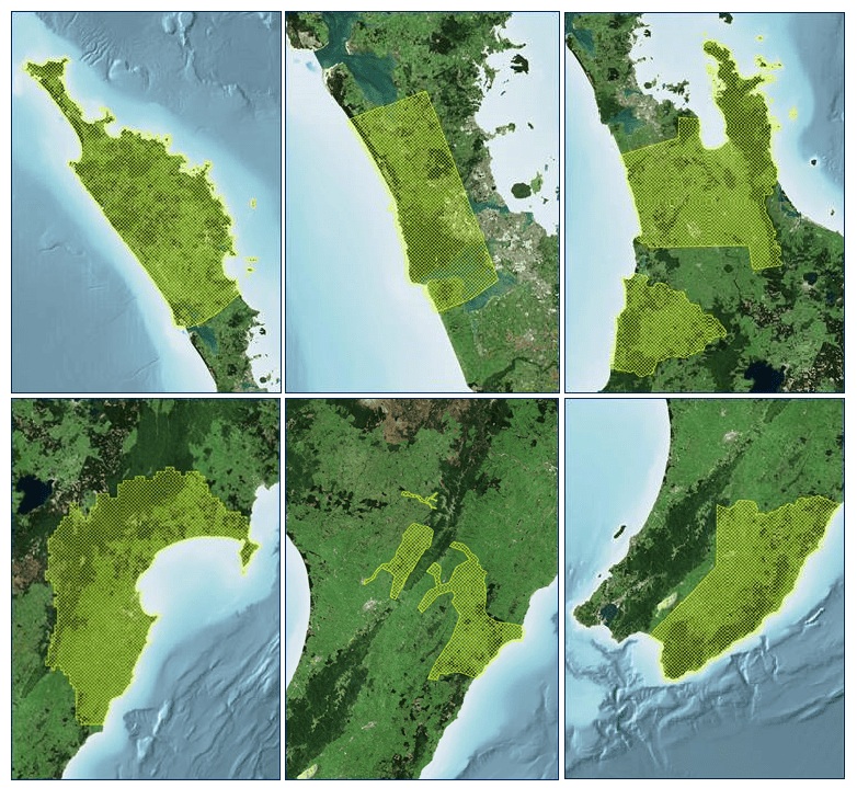
NIWA is co-ordinating the collection of remote sensing data to assist understanding of the impacts of the extreme weather events of early 2023. The scope of the project is to supply aircraft LiDAR* data for the Hawke’s Bay and Tairawhiti/Gisborne regions, and high quality aerial imagery over much of the North Island.
The status of the work at January 2024 is that data capture of the Gisborne LiDAR is completed and Hawke’s Bay LiDAR is nearly done. Aerial imagery capture will continue through autumn 2024, depending on weather conditions. Meanwhile, the contracted providers are undertaking ground surveys, data processing and quality assurance, before providing the data to Land Information New Zealand (LINZ), initially as provisional and then as final data sets.
The data is openly available (using Creative Commons License), and LINZ makes provisional data available as soon as possible in blocks. Users can access the data through the LINZ Data Service, LINZ Basemaps (Imagery only) and OpenTopography (Point Clouds).
***
We acknowledge our collaborators:
- Ministry for Primary Industries (MPI) and LINZ who sponsored the project,
- research organisations for their input on requirements,
- councils for input on needs and selection of providers,
- LINZ for contributions of specifications, tendering and data management, and
- three aerial survey companies.
*LiDAR (Light Detection and Ranging) works on the principles of radar but uses light from a laser to measure and record variable distances to Earth. The processed data can be used to generate detailed maps/imagery of the land surface based on changes in elevation.