Investigating the role of iwi management plans in natural hazard management
27/08/2018
Nā Dr Wendy Saunders me Lucy Carter
Ko ngā hotaka a-iwi kaupapa whakahaere he rautaki whakatakoto huarahi, whakaritenga nā te iwi, me te Rūnanga me te hapū me ōna māngai whakaritenga i whakarite (IMP). Ka hangaia ēnei rautaki- hōtaka e whakahau ana i te motuhaka – rangatiratanga o te hapū me te iwi e whakaaratia ana a rātau tikanga hānga pū ki te āhuatanga o Kaitiakitanga. Kei roto i tēnei hōtaka e whakaatu ana i ngā rawa o te papa tipu whenua o taua rohe. Ko ēnei whakaritenga hōtaka he rauemi nui, atāahua hai āta titiro kia whakatūpato ki ngā au kino, au uaua whakahaere ā, he honanga kei konei hāngai tonu ki te mātauranga Māori o te āhua o te whenua me ōna whakaritenga. Engari i tēnei wā nei kāore i te kitea atu mēnā kai te aro anō ngā Kaunihera ā-rohe whakarite ki ēnei hōtaka ā-iwi, ā-Rūnanga e whakaritea nei.
Ko ngā kairangahau o Kia Manawaroa, Ngā Ākina Te Au Tūroa hononga piri tahi ki te mātauranga Māori e hiahia ana ki te whakatikatika ā, me tō rātau hiahia ngā kairangahau kia mōhiotia e pēheatia ana e ngā Kaunihera ā-rohe ngā hōtaka whakahaere a ngā iwi (IMPs) hai poupou nui mo ngā whakaeke mai o ngā raruraru ki ngā iwi, taiao whakahaere, ā, me pēhea hoki te whakamahi tika, pai i aua hōtaka ā-iwi nei. Kia whai whakaaro atu ki ēnei hōtaka ā-iwi kā tika. Koia ka whakahaeretia tēnei rangahau mo aua hōtaka ā-iwi nei ki roto i te rohe o Te Waiariki i te mea hoki nui atu ngā tukina whenua, noho ngātahi o te maha o ngā uauatanga takoto mai o te hua tūkino whenua ki roto o Aotearoa nei ā, ko Te Waiariki tētahi o aua whenua nui te uaua piripono ki ngā momo tūkino o ngā nohanga whenua.
Kāre anō tētahi kairangahau kia āta waihanga, āta tātari i ngā hōtaka ā-iwi nei kia whai wāhi atu ki ngā tukinga, ākina mai o Te Ao Tūroa e kitea ai te wāriu o ēnei hōtaka ā-iwi. Ko ngā whāinga o tēnei rangahau e whakakitea ai mehemea kai te piri pono ngā Kaunihera ā-rohe kia whai whakaaro rātau ki ngā hekenga kōrero, whakarārangi kōrero o ēnei hōtaka ā-iwi, Rūnanga hoki. Anei te kōrero a tētahi mema o te Kaunihera i muri tonu iho i te tūtaki, whakatinana tahi mai o ngā hōtaka ā-iwi nei:
Ko ngā kōrero i puta mai mo ngā hōtaka ā-iwi nei, kitea atu ana me aro atu te Kaunihera ki ēnei whakaritenga hōtaka whakahaere me ōna ritenga pai katoa (Kaikōrero mai te Kaunihera Haratua 2018).
Ae kua takoto tēnei rangahau hai tātari i ngā Kaunihera ā-rohe kia aro rātau ki ngā whakaritenga hōtaka a ngā iwi, me ngā Rūnanga whakahaere o aua takiwā, ō aua rohe kia manaakitia te reo kōrero o te iwi.
Iwi management plans (IMPs) are resource management plans prepared by an iwi, iwi authority, rūnanga or hapū. They are generally prepared as an expression of rangatiratanga to help iwi and hapū exercise their kaitiaki roles by identifying issues regarding the use of natural resources in their area. IMPs are a valuable strategic tool for natural hazard management, and provide a link between Mātauranga Māori and land use planning. However, their potential influence and role within council planning processes is uncertain.
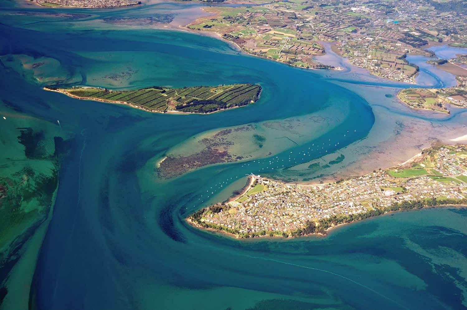
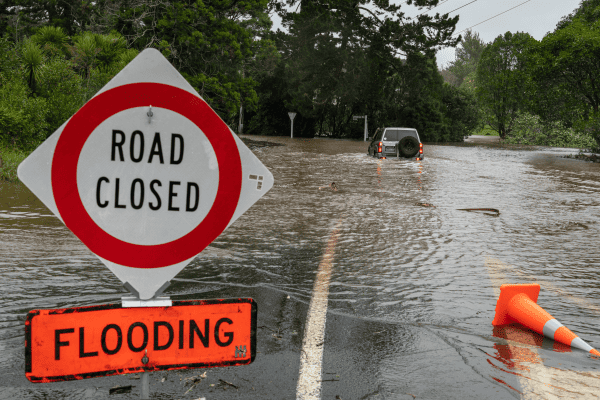
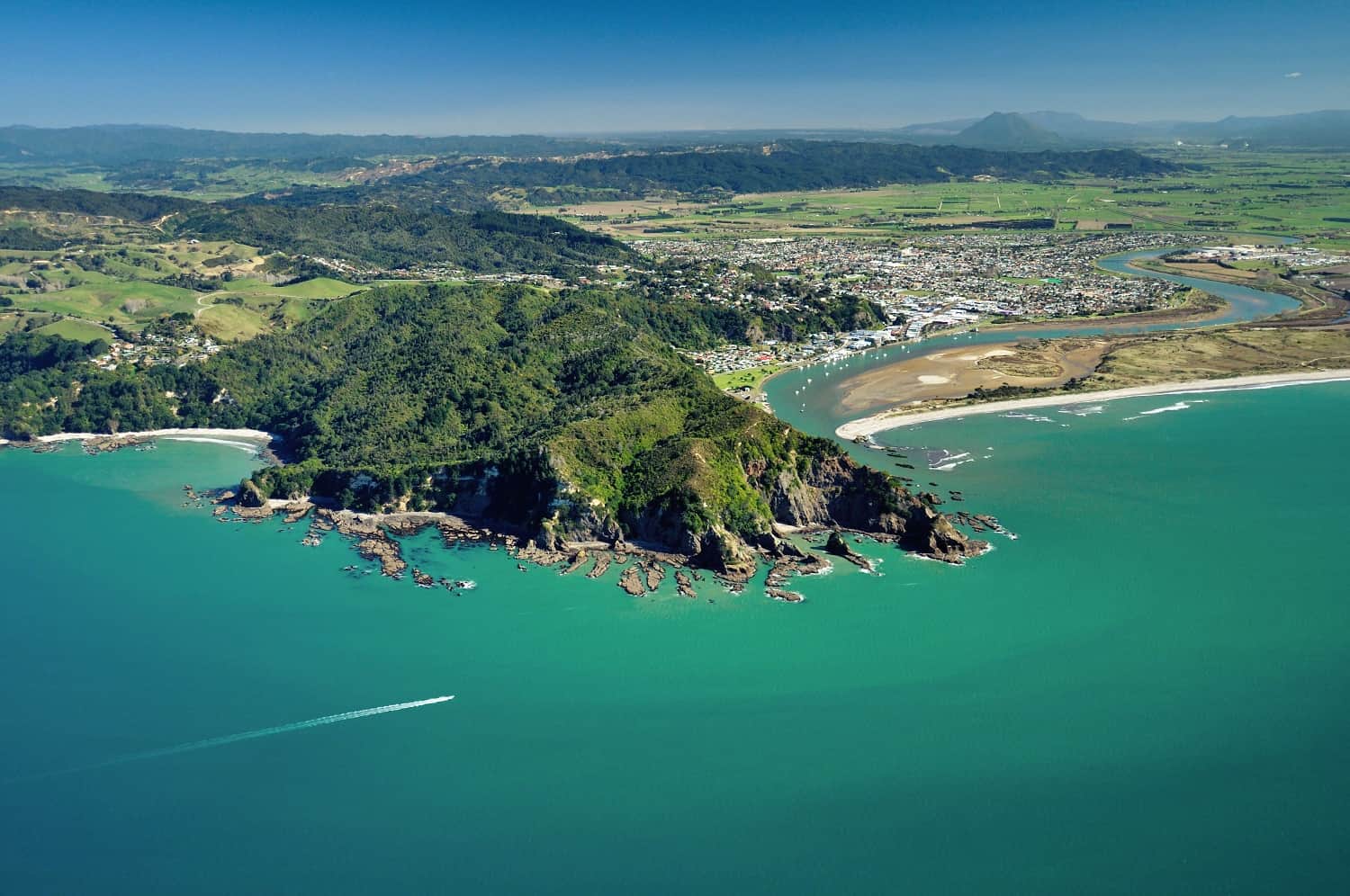
Researchers from the Resilience to Nature’s Challenges Mātauranga Māori programme wanted to help clear up some of this uncertainty and find out how IMPs were being used as a tool for natural hazard management, and what the opportunities are for their use. To do this, they carried out a case study of iwi management plans in the Bay of Plenty region (which is susceptible to every natural hazard in New Zealand).
No one has investigated the role or use of IMPs for managing natural hazards before, making this research novel. Findings will provide key insights into how iwi and councils value IMPs, and how internal council processes can change to take IMPs into account more often and effectively. As a representative of council expressed after a meeting on their implementation of IMPs:
“the kōrero certainly provided and promoted further discussion and areas for us to consider regarding our iwi management plans and processes” [council representative, May 2018]
In total, 29 IMPs have been lodged with the Bay of Plenty Regional Council. The researchers analysed 21 of these plans to find out what they specified with regards to natural hazards, how they linked to other plans and policies, and what the consultation process was. Of these 21 plans, only six included reference to natural hazards, to different degrees; some had specific and explicit information on natural hazard risks and climate change, while others were more general. Based on the content of these six plans, four were analysed in more detail to ascertain to what degree natural hazards had been included. In addition, regional and district plans (including emergency management plans) were assessed for how they acknowledged IMPs.
In light of these findings, researchers are now investigating how well IMPs are being implemented, used, and valued through hui with iwi and councils, with research due to be completed by June 2019.
It is intended that this research will help to Increase awareness of IMPs within councils, as well as providing new and/or improved processes and education that support and encourage the use of IMPs in all planning processes. It will also strive to see IMPs becoming more valued and supported as another method to manage natural hazards in Māori communities, and ensure that IMPs are valued, useful and used by consultants, consent applicants, and councils. It is hoped that the study will also help researchers to become more aware of the IMPs, and how the Mātauranga within the IMPs can inform their science direction and contribute to their outcomes.
To date two publications have been published:
Saunders, W.S.A., 2017: Setting the scene: the role of iwi management plans in natural hazard management. GNS Science Report 2017/30, p34.
Saunders, W.S.A., 2017: Investigating the role of iwi management plans in natural hazard management: a case study from the Bay of Plenty region. GNS Science Report 2017/50, p74.
In addition, the following publications are planned in the next 12 months:
- Internationally peer reviewed journal article on the role indigenous knowledge in planning for natural hazards from a Māori world view perspective
- Internationally peer reviewed journal article on the role indigenous knowledge in planning for natural hazards from a western governance perspective
- Planning Quaterly article on the role and value of IMPs in natural hazard management (PQ is the planning magazine of the NZ Planning Institute)
Key stakeholders that have been involved in interviews to date are: Ngāti Raukawa; Ngāti Rangiwewehi; Ngāti Rangitihi; Matakana and Rangiwaea Islands iwi; South Waikato District Council; Waikato Regional Council; Rotorua District Council; Western Bay of Plenty District Council; and Tauranga City Council. Interviews with Bay of Plenty Regional Council; Whakatāne District Council, Ōpōtiki District Council, and Kawearu District Council are planned. In addition, Ministry for the Environment, Ministry of Civil Defence Emergency Management, and Local Government NZ will be targeted as findings and recommendations are drafted.