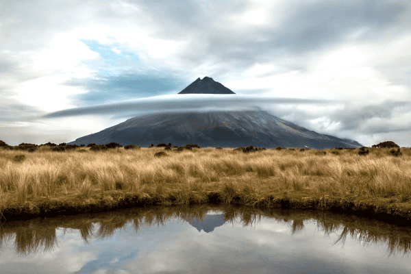
Can we evacuate Auckland before a volcano erupts?
12/03/2018
By Seosamh Costello
It is only a matter of time before another volcano erupts in Auckland’s Volcanic Field. The question that Resilience Challenge researchers are tasked with is whether we can evacuate everyonefrom the affected areain time when it happens.
The lack of data
As no evacuations of the Auckland city area have taken place to provide historical data, and an evacuation exercise of this magnitude is impractical, it is difficult to predict whether we can evacuate Auckland’s residents if monitoring of seismic activity suggests a volcanic eruption is imminent. In any case, the uncertainly is large, in terms of location, styles, sequence and advance warning of any volcanic eruption.
Driving under pressure

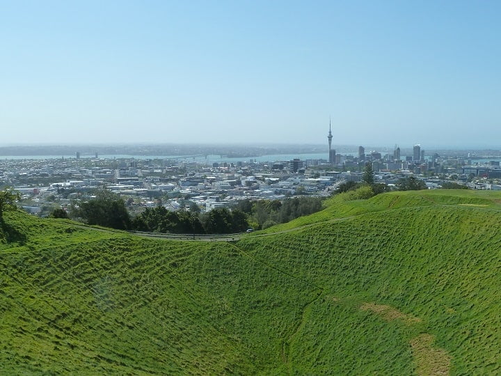
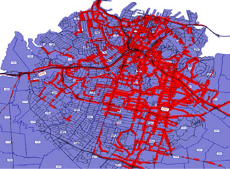
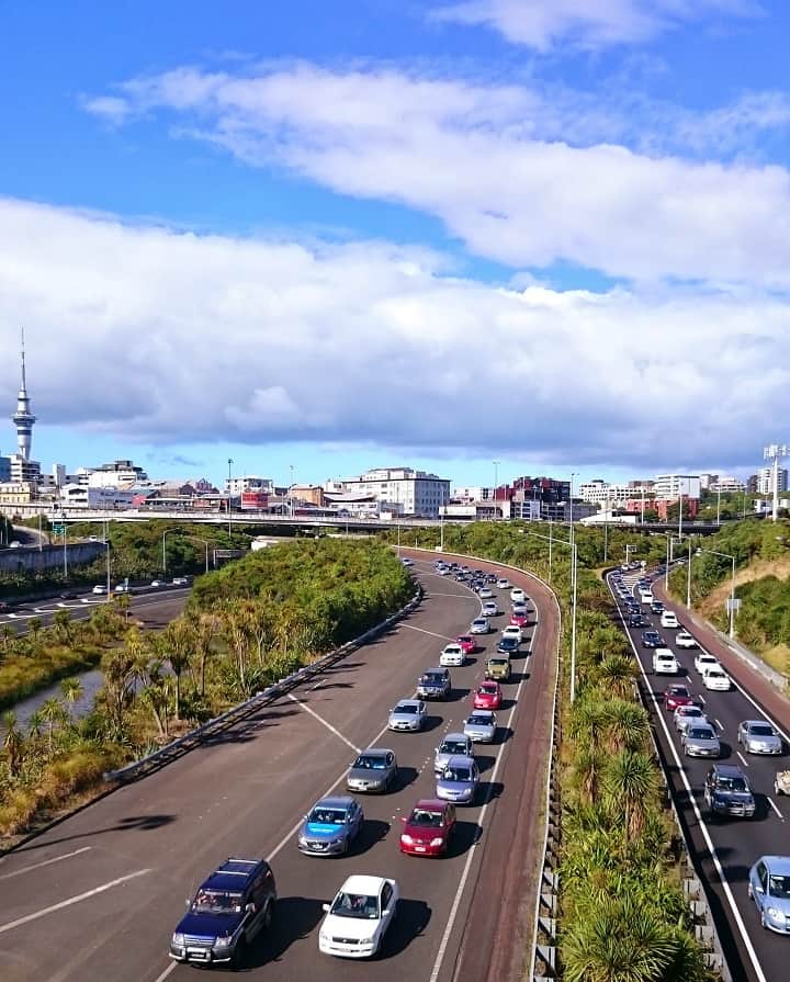
Auckland’s congested transport network has its own challenges. In particular, Auckland’s geographic location, between two isthmuses (narrow sections of land that connect larger landmasses), results in only a limited number of evacuation routes. In addition, all our knowledge of Auckland’s travel and driver behaviour is based on day-to-day activities, for example the daily commute, shopping trips and the school run. How we react and behave in an emergency adds another degree of complexity.
Our research
How to allow for such uncertainty, constraints and complexity is undoubtedly a challenge. To address this challenge two research projects are underway. The first is attempting to understand human and driver behaviour in emergency situations in Auckland. We are all human, and when faced with an emergency we behave differently. How this behaviour affects the ability to evacuate Auckland city is the ultimate aim of the research.
The second research project underway is building a simulation model of Auckland’stransport network. Volcanic scenarios developed by other researchers in the Challenge and Determining Volcanic Risk in Auckland (DeVoRA) project will be used as case studies and evacuations will be simulated. Outputs from the evacuation models will include the length of time needed to vacate the evacuation zone at different times of the day, the number of people still left in the evacuation zone when the volcano erupts, and the bottlenecks in the road network. This information will then allow Civil Defence and Emergency Management, among others, to understand, prepare for and, if needed, amend the existing evacuation plan to maximise the number of people safely evacuated.
So, can we evacuate everyone in time? Unfortunately it is not a yes/no answer. However, given scenarios on the location, type, size and advance warning of the next volcanic eruption, the transport model being developed to simulate evacuation, will provide us with an answer. Where the answer isn’t the one we want to hear, mitigation measures can be proposed and simulated which will increase the number of people that can be evacuated and ultimately save lives.
Staff: Associate Professor Seosamh Costello, Dr Prakash Ranjitkar, Dr Subeh Chowdhury
Postdoc: Daniel Blake
PhD Students: Mujaddad Afzal and Snehalata Thakur