Using graphs for good: Modelling multi-hazard impact scenarios to better inform communities and emergency services
24/10/2018
By Alex Dunant
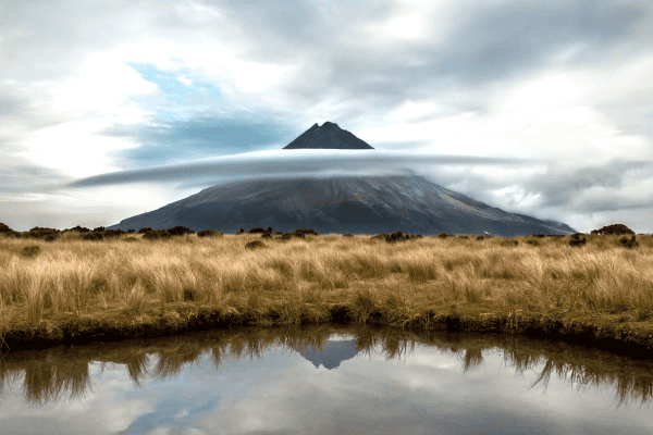
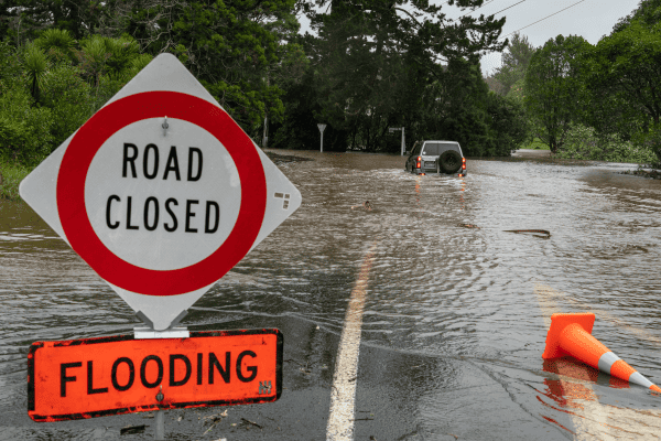
An earthquake or eruption alone can be devastating, and to make matters worse natural hazard events rarely happen in isolation. An earthquake might trigger a landslide which blocks part of a river, eventually causing a dambreak flood. This cascade is an example of a multi-hazard event.
Unfortunately, it is hard to quantify the dynamic interactions that cause these phenomena, meaning that we don’t have a good understanding of how multi-hazard events will play out. This is a problem, as groups like communities and emergency management service providers need to know the risks involved in order to prepare. If we don’t consider the complex nature of natural catastrophes we will likely underestimate the hazard risk in any given area, leading to increased vulnerability and distorted emergency management priorities.
In light of this, PhD researcher Alex Dunant is investigating how we can map out the interaction of hazards. He is combining this mapping with iterative computation to create potential multi-hazard scenarios threatening parts of New Zealand.
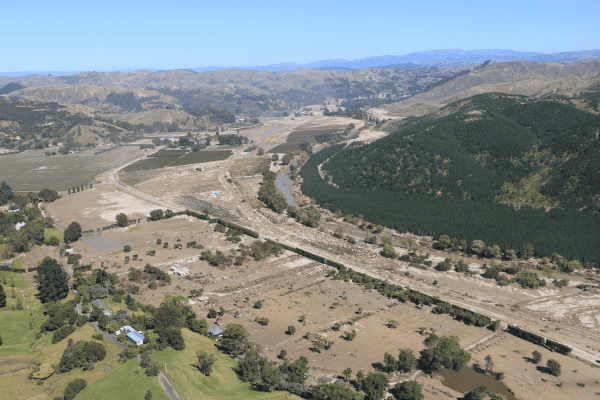
Alex is part of the Resilience to Nature’s Challenges Hazard research programme, and is using data from the 2016 Kaikōura earthquake to illustrate his novel method of multi-hazard simulation. Basically, Alex is using the ‘hazard footprints’ in an area, which show the impact any one hazard will have, to build a hazard network. This network shows, using arrows, the relationships between each of the individual hazards. Then, using the network he can build iterative disaster scenarios, which show, using mathematical calculations, the propagation of a hazard cascade. These three processes are shown below.
In order to set this novel method, Alex is using the 2016 Kaikōura earthquake event and its recorded impacts as a calibrating point to study the cascading events. The method is tested by assessing the compounded impact of earthquakes, rainfall & landslides on the road system.
It is hoped that this research will give communities and emergency service providers a better idea of the spectrum of natural hazard risks in their area. This knowledge will enable them to better plan and prepare for a hazard event, ensuring their emergency management priorities line up with local risk.
Alex is due to finish his PhD in 2020, while also working part-time in GNS Science’s Risk and Society group. He plans to use his novel method to study the potential multi-hazard impacts for Franz Josef, while also adding complexity to the model. In addition, Alex has created a tool for regional landslide dam assessment and potential outburst flood, which will be useful in modelling risk for Franz Josef as the township sits beside the Callery Gorge and would be vulnerable to flooding. Alex is also hoping to further develop impact assessment methods and other innovative ideas to help us to better plan for natural disasters.