Managed retreat:Is the RMA up to it?
20/11/2018
By Emily Grace
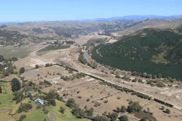
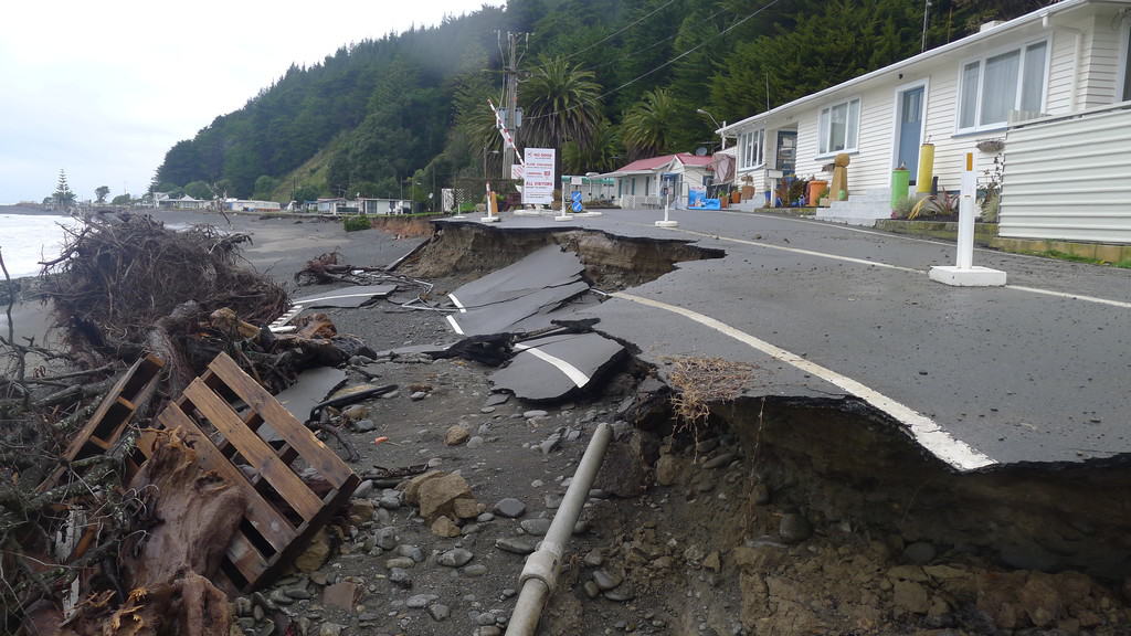
TheResource Management Act 1991(RMA) governs all of our land use and natural resource planning efforts. Aspirations of the community for development, growth, and preservation of natural values are expressed through policies and rules in regional and district planning documents. So, what if the community’s aspiration is to retreat from an area facing increasing risk of inundation from the sea or exacerbated coastal erosion, and purposefully avoid growth and development in this area? Is the RMA up to giving effect to this aspiration?
Research is currently underway to investigate the ability of the RMA to enable managed retreat.Specifically, this research is focused on how the ‘rights’ of existing and established uses can be managed under the RMA to reduce risk. The research team is made up of Emily Grace, a natural hazards planning researcher at GNS Science, Ben France-Hudson, a law lecturer from the University of Otago, and Margaret Kilvington, and independent social researcher based in Lyttleton. The strength of the research is in this combination of disciplines: planning, legal, and social.
Findings to date suggest that, in certain circumstances, the RMA is able to proactively manage existing uses to reduce risk, especially when the community is supportive of the approach taken. However, investigations are currently focusing on an aspect of the RMA and property law that may limit Council options to remove an existing use right and facilitate managed retreat where this does not accord with the community’s wishes.
Investigations into the responsibilities the RMA places on regional and district levels of government are also underway. Generally, the role of regional councils is to manage the natural environment (e.g. water quality and allocation, biodiversity, air quality etc.), while district and city councils are primarily responsible for land use planning (growth and development). However, as an anomaly, the RMA gives regional councils the ability to use rules to manage existing and established land uses in hazard areas, rather than city and district councils. Interviews with city/district and regional council staff are highlighting the barrier this anomaly, and the uncertainty surrounding it, poses. Interviews with unitary authorities suggest that the combined function of these councils (who have both regional and city/district functions) is not enough to overcome the barrier.
Implementation under the RMA is also being considered. Options for rules that proactively manage existing and established uses to reduce risk are being investigated, from requiring raised floor levels when houses are rebuilt following significant flooding events, through to prohibiting residential activities altogether. How consent terms and conditions of consent can be used are also being looked at, as well as what is necessary in the RMA policy hierarchy to achieve an outcome of reduced risk.
The research project is due to conclude in June 2019, with practical guidance for councils on how existing and established uses can currently be managed under the RMA, and suggestions for ways to improve the ability of the system to provide for this function.