Infrastructure Component Fragility and Vulnerability for Tsunami Wave Impacts and Currents
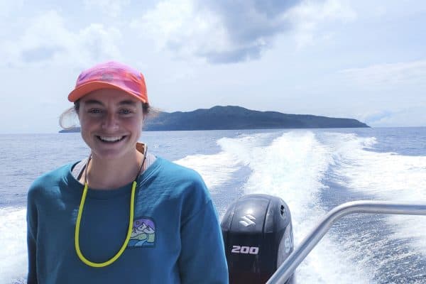
I was raised on the North Shore of Tāmaki Makaurau Auckland and earned my Bachelor’s Degree in Civil and Environmental Engineering at the University of Auckland. Outside of university I pursue multiple hobbies, many of which revolve around the water and waves. Surfing, sailing and wakeboarding is what I love to spend my time doing, so it was only natural to fall in love with the scientific side of these activities too. In my final year I took a number of coastal engineering papers and completed my Honours dissertation looking into Active and Passive Wave Absorption. The coastal papers, Honours and working relationships with staff at the University of Auckland provided the opportunity to pursue a PhD with funding from Resilience to Nature’s Challenges.
Outside of thinking, studying, being on and riding the water, I spend time following other passions such as guitar, piano, soccer, basketball, hiking and skiing (I guess that still qualifies as riding the water).
My Project
As New Zealand is in an exposed location on the Pacific Rim, a tsunami event could prove to be very disastrous. We only need to look to Japan and the Indian Ocean events to see this potential. Hence, lifeline infrastructure (transport, telecommunications, electricity etc.) are vital in post-disaster response, but also necessary for the functioning of communities.
The objective of my project is to understand the fragility of New Zealand’s coastal lifeline infrastructure to tsunami inundation, and hence provide component-level mitigation measures to better protect our infrastructure assets.
This work can be divided into three sub-categories or delivery packages:
- Geospatial identification of vulnerable infrastructure components
- Determine the component-level fragility of the infrastructure component(s)
- Design of localised component-level mitigation measure
Currently the geospatial analysis of vulnerable infrastructure components is coming along well. I have developed a simplified 2D model that accurately predicts tsunami inundation extent, that can be used to determine the number of vulnerable components for many tsunami wave heights. This model has been tested against results developed in COMCOT (Cornell Multi-grid Coupled Tsunami Model) and proven to accurately predict the tsunami inundation extent with higher computational and time efficiency. The inundation level results also look promising. This model has the potential to develop accurate tsunami evacuation zones for regions that currently don’t use COMCOT modelling but use the simplified “Bathtub” or “Attenuation method” to develop their tsunami evacuation zones. However, the model also enables a quick method for determining the number of infrastructure assets within a region susceptible to tsunami, from which the most vulnerable components can be determined.
Next Steps
The next steps of my project are to finish up the geospatial and modelling work to identify the vulnerable infrastructure components. From this an asset(s) will be chosen to investigate further through physical and numerical modelling. The initial modelling work will seek to understand the forces exerted on the asset through dam-break modelling methods, from which the damage extent and mechanism will hopefully be determined. Using post-tsunami observational data and the damage results from the modelling work, mitigation measures will be explored and tested, producing recommendations for possible component-level design changes to the asset(s).