Student Profile: Mat Darling
25/03/2019
Modelling transient population exposure to disaster risk

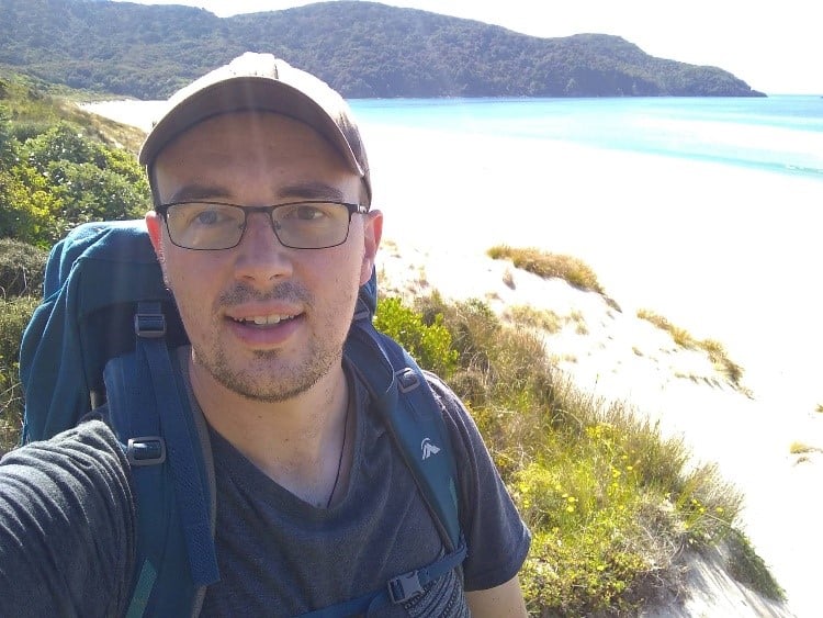
A bit about me
I proudly hail from Otago, where my family grows fruit just outside of Cromwell. I completed an undergraduate BSc in Geology and Geography at the University of Otago in 2013. While studying, I helped NZ Red Cross out a bit through training and leading a youth emergency preparedness program. I also held roles in disaster response, youth governance and was eventually elected onto their National Board in 2012, a position I held until last year.
Following completion of my degree, I went and worked for a couple of different engineering consultancies mainly in geospatial and environmental management roles. After five years of this, I decided to return part-time and complete a Master of Disaster Risk and Resilience (MDRR) here at the University of Canterbury. I saw the field of disaster risk reduction as a nice union of my technical skills, my growing governance ability, and some of the important work Red Cross was doing following the Kaikōura and Christchurch earthquakes.
Following the completion of my MDRR I decided to move to a PhD program full time. When I am not at university you can either find me working part-time for Pattle Delamore Partners leading their Christchurch geospatial work group or volunteering with a local club skifield.
My project
My research project is tackling a significant challenge faced by New Zealand; that is understanding the exposure of our ‘transient’ visitors to disaster risk as they travel around the country. Significant decisions are often made by government stakeholders to reduce this exposure. However, we have very limited models available to understand how visitors move through New Zealand in time and space. I am aiming to build on and improve these models using big data and geospatial modelling.
This project has come as a direct outcome of the work undertaken by Project AF8, which recognised that the next step in improving New Zealand’s disaster risk modelling was to develop more dynamic ways to assess population exposure to disaster risk. My project aims to develop new, novel indicators to build a model which better characterises transient population movements in time and space.
Further disaster risk assessments will be undertaken using this model at two scales; South Island-wide, and then a high-risk case study area (i.e. Queenstown). Given the relationship between visitor flows, infrastructure demand and likely impact on rural communities, this project has cross-cutting objectives which fit within both the Resilience Challenge’s Rural and Infrastructure research programmes.

Next steps
My PhD research is just kicking off. The initial phases I have been working on include undertaking a systematic literature review of how transient populations are included in disaster risk modelling internationally, and understanding how decision makers are currently using big data sources to understand visitor population exposure to disaster risk. Through using both of these and collaborating with stakeholders, I am working to understand the scale and accuracy of information needed to make informed decisions.
We have also been working with proof of concept geospatial modelling, applying data sources such as infrastructure load and social media to understand how well various sources characterise populations.
Critical to the success of this project is the close collaboration with stakeholders, be it decision makers or data providers. I have really enjoyed working closely with stakeholder groups in these initial stages as we collectively realise the potential of this project.


