Student Profile: Ben Collings
Identifying coastal change at the national scale in New Zealand through the application of remote sensing data and techniques
May 2020
 A bit about me
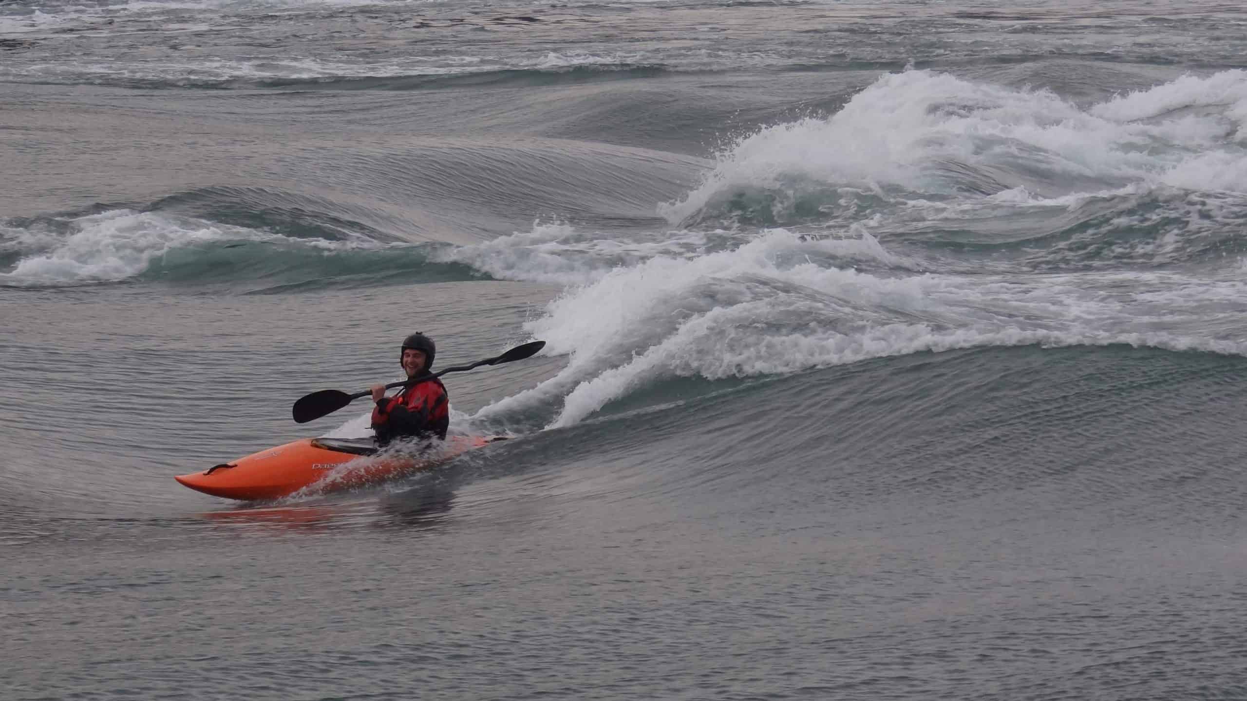
I’m from the UK and grew up outside a small town called Fordingbridge on the edge of The New Forest, a beautiful national park in southern England not far from the coast. I have always loved the outdoors and outdoor pursuits; surfing, white-water kayaking, and mountain-biking to name a few. I believe that my passion to pursue a life outdoors led to a keen interest in geography while at school and a thirst for travel to explore and enjoy the natural world.
After a few years travelling I returned to the UK to study physical geography at Aberystwyth University, Wales. It was here that I discovered the fascinating discipline of GIS and remote sensing and decided to continue my studies to complete a Masters. I was intrigued by the volumes of remote sensing data available (especially from satellites) that can be leveraged via computer processing to help solve environmental problems at local to global scales. Whilst completing my Master’s thesis I stumbled across an advert for the changing coastlines PhD project with the School of Environment at the University of Auckland. I have always wanted to come to New Zealand. It is regarded as one of the world’s best destinations for white-water kayaking and mountain-biking! This opportunity presented the chance to combine both my passion for the outdoors and my remote sensing skills to contribute to the Resilience National Science Challenge.
My project
Anthropogenic climate change has led to acceleration of sea level rise and increases in the frequency and magnitude of storms. Changes in these boundary conditions will influence coastal environments and associated coastal risk. A robust understanding of coastal change, ideally at the national scale, is fundamental to identify regions and communities exposed to dynamic coastal hazards.
Satellite remote sensing provides data at temporal and spatial resolutions that are appropriate for change analyses of coastal environments at local to global scales. The growth of computer processing power and increased availability of satellite data have led to a plethora of global and regional studies that aim to better understand how coastlines and shorelines are changing around the world. In the case of New Zealand this is complicated by the nature and variability of the coastal setting. Differences between volcanic black sand beaches on the west coast and pristine white sand beaches on the east coast, for instance, present challenges.
The aim of this project is the development of techniques to assess how New Zealand’s coastlines are changing in response to alterations in boundary conditions. To achieve this time-series of satellite remote sensing data and semi-automated image classification/processing techniques will be applied to identify coastal features (e.g. the shoreline or the seaward edge of dune vegetation) and analyse how these are changing through time.
This work will feed into project 1 of the coastal programme of the Resilience Challenge, New Zealand’s Changing Coastline, with the desired outcome of providing data that indicates hotspots of change throughout New Zealand.
Next steps
My PhD is in its early stages. This includes the investigation of current methods that have leveraged satellite data to observe coastal change in other regions of the world to see how they can be applied to coastal environments in New Zealand. This will ascertain the challenges that must be overcome to develop a framework that works for the variety of coastal environments in New Zealand.
For the final outcomes of the project the development of an automated framework that can indicate coastal change throughout New Zealand would provide instrumental data that can inform effective management strategies to build resilience in vulnerable coastal communities in New Zealand.


