Q & A with Dr Richard Turner
Q. Tēnā koe Richard. Can you tell us about how you got into meteorology? Have you always been fascinated with weather?
Kia ora. Yes, I have always been very interested in weather since being a kid growing up in South Otago – my first day of school was cut short due to a snow storm and we were off school for the next week. The area also experienced a number of floods in the 1970s and a massive windstorm in 1975. A background in mathematics and physics was a requirement for meteorology, so I studied those subjects as an undergraduate and then pursued graduate degrees in Meteorology (MSc) and Agricultural Meteorology (PhD) in the USA before returning home. My graduate degrees relied a lot on my mathematics background and concentrated on the numerical modelling of weather and the dispersion of pests by the wind.
Q. How long have you worked at NIWA and can you tell us a bit about your main research interests?
I’ve worked at NIWA since 1996 and my main areas of research interest have been around numerical modelling of wind and its impacts – wind damage to structures, the effects of complex terrain on wind speed, the wind-dispersal of volcanic ash and pathogens such as myrtle rust and foot-and-mouth virus, UV forecasting and how decision support tools can best utilise weather/hazard forecasts.
Q. You’re co-leading the Weather and Wildfire programme for Phase 2 of the Challenge, and previously led the Weather, Flood & Coastal Hazards Theme of the Natural Hazards Research Platform. What draws you to collaborative research programmes?
I’ve found over the years that what I really like about working at NIWA, and in the science sector in New Zealand, is the wide variety of interesting projects, science colleagues and subject experts and stakeholders that I’ve been able work with. I’ve found I’m always learning, and it’s great to be contributing in areas of obvious benefit to other areas of research and the country.
Q. What will the detailed modelling created under the Weather and Wildfire programme add to current knowledge about the impacts of extreme weather events in New Zealand?
The detailed weather modelling will be a resource for many other researchers. There will be consistent and realistic high-resolution model ‘datasets’ made available to the research community of intense rainfall, snow, and extreme winds, as part of extreme but credible events. Other researchers – such as landslide, fire spread, and flood modellers will be able to use these to create detailed impact assessments of areas affected by these hazards. This level of detail, over large domains, has not been possible to achieve previously.
Q. The Weather and Wildfire programme centres around three extreme weather scenarios – an ex-tropical cyclone hitting Auckland, a severe winter storm in the South Island and a wildfire in a Central Otago subdivision. Why did the team choose these scenarios?
When the second phase of the Resilience Challenge was being planned, researchers and stakeholders identified gaps in our knowledge of weather hazard events that could potentially have significant impacts on New Zealand or parts of New Zealand. Ex-tropical cyclones were chosen, as the impacts from these seem likely to increase under climate change and they are the one weather hazard that could impact Auckland very badly if the storm-path brought the severest effects over the city. One of the techniques we are using is to move New Zealand around so that historically strong and damaging storms such as ex-tropical cyclone Cook (2017) do end up moving over Auckland. Winter-storms were chosen as these could impact power networks severely and wildfire was chosen as that is clearly a growing threat, both nationally and globally.
Q. What are the logistical challenges involved in creating such fine-scaled modelling, across multiple hazard types?
You need lots of computer processing power. A supercomputer is required to do the weather and flood computations with plenty of storage, plus protocols and data standards to distribute the results. Researchers need good visualisation tools and experience to create realistic simulations.
Q. What do you like to do outside work?
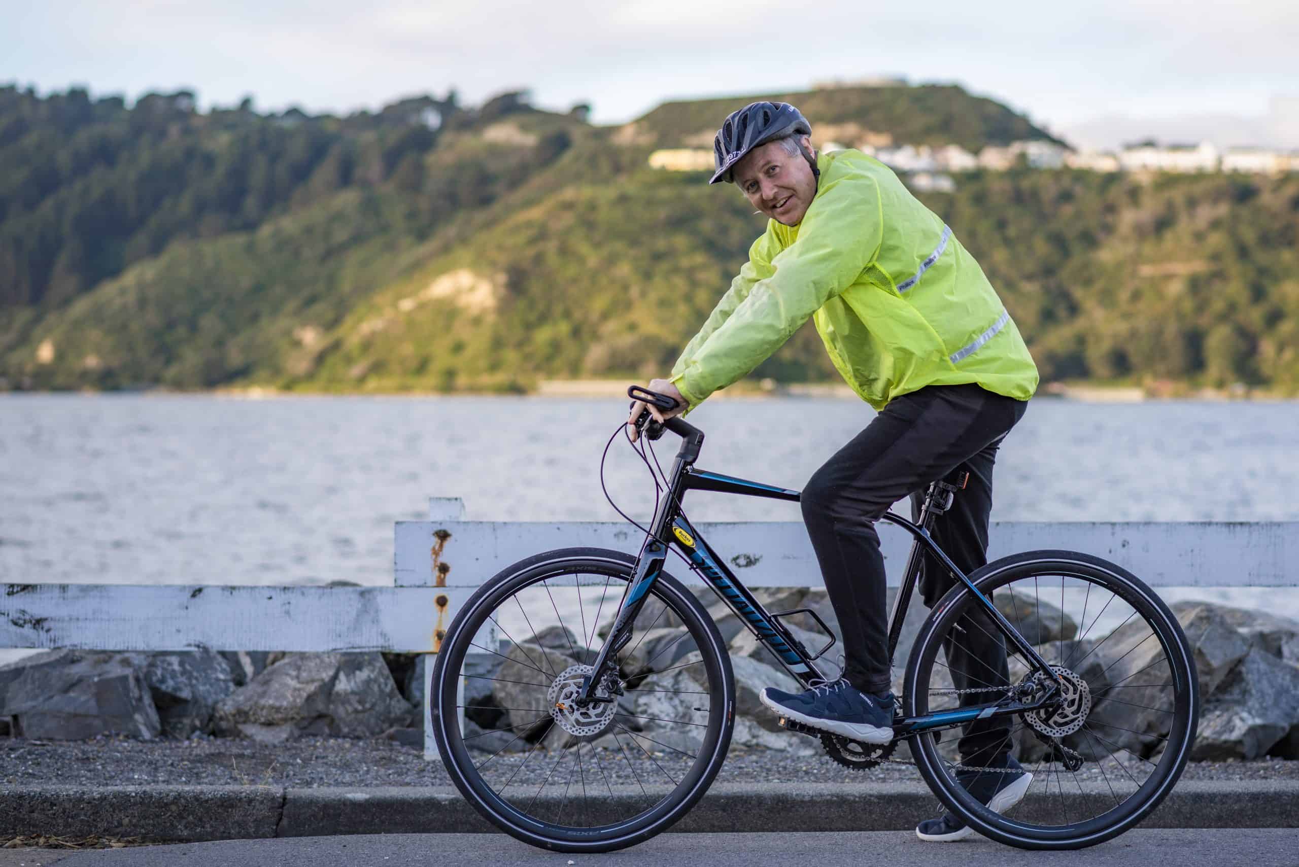
I follow Liverpool Football Club as well as the Wellington Phoenix (my son is football mad and he has got me following the Premier League Champions). I like to go tramping (but not alone), cycling and do a bit of kayaking (nice windless days thank you very much). I used to play golf but don’t have any time for that these days.
Q. What are your future research aspirations?
That is a great question for a middle-aged scientist not particularly into empire building.
I think there are some hugely exciting and totally essential research areas these days, such as (i) climate change adaptation (sadly unavoidable now), (ii) the study of aerial spread of viruses is going to advance hugely in the next couple of years, (iii) the quiet and ongoing revolution in weather forecasting as we tackle the challenges of getting more gains from models as computational limits are reached, (iv) Machine Learning and Artificial Intelligence could allow us to discover new signals in weather and climate and will be necessary as observed and modelled datasets become more and more massive and too large for humans to effectively process and interrogate, and then there is (v) the need to be able to communicate all of this great and wonderful science to the public (some of whom are hostile to science or befuddled by orchestrated dis-information campaigns), for their benefit and to increase our chances of survival (which is one definition of Resilience and also naturally a massive Challenge).
If I can contribute in some small way, I’d be happy.
