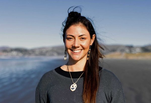
Q & A with Dr Bill Fry
17/12/19
Q: Congratulations on your recently completed Hochstetter Lecture tour – how did it go?
Great! It was truly a rewarding and humbling experience. The audiences throughout the regions were as varied as the New Zealand landscape. However, the uniting characteristic was the genuine thirst for knowledge. I’ve been interacting with the New Zealand public for over a decade and I never fail to be impressed by the high level of understanding of geohazards and the keen desire to take on new science.
Q. You’re a seismologist and you also work a lot on tsunami hazards – how did you arrive at your current field of research?
I started my career in fundamental (academic) seismology, with very little focus on geohazards or societal application. Moving to New Zealand in 2008 changed all of that. I was fortunate enough to get a job with GNS as a civil servant, monitoring and responding to earthquakes. Almost immediately, the Mw7.8 Dusky Sound earthquake happened and my first real event response began. I was told that it was a “once in a career event”. Ha! The next decade produced three more M7+ earthquakes in New Zealand and a handful of tsunami responses. Once I saw tangible societal benefit in science and the true power of “science to practice”, there was no turning back.
Q: Your Hochstetter talk focussed on Kermadec trench earthquakes, and their potential to generate large tsunami for Aotearoa New Zealand. What are the major takeouts from this research?
Natural warning self evacuation (Long or Strong, Get Gone) is absolutely crucial to protecting coastal communities from many local tsunami-generating earthquakes. However, we’ve also documented local and regional tsunami-generating earthquakes that require a combination of natural warning, and science-based instrumental warning to keep coastal communities safe. The talk brought together geophysical observations, numerical simulations and observations of New Zealand citizens to highlight improvements that can be made to our tsunami response plans.
Q. You’re co-leading the Earthquake-Tsunami theme for Phase 2 of the Resilience Challenge. Can you talk us through the main projects in this theme?
Sure. The biggest challenge of putting hard numbers to seismic hazard in New Zealand is overcoming the limits of having a very short record of earthquakes. To capture the full range earthquake behaviour, we’d need to record earthquakes for tens of thousands of years. We obviously can’t do that (modern GeoNet recording only goes back to about 2001). Our theme will use our understanding of the physics of earthquakes and specific knowledge of New Zealand’s faults and tectonics to computationally model hundreds of thousands of years of earthquakes. We’ll look for earthquake sequences in those models that look like what we’ve seen over the last decade, and then see if subsequent earthquakes in the model inform us about what we might expect to see over the next 50 years. We’ll also evaluate whether this type of earthquake catalogue can underpin next-generation hazard models.
Q. How have the Canterbury and Kaikōura earthquakes affected the priorities for earthquake research?
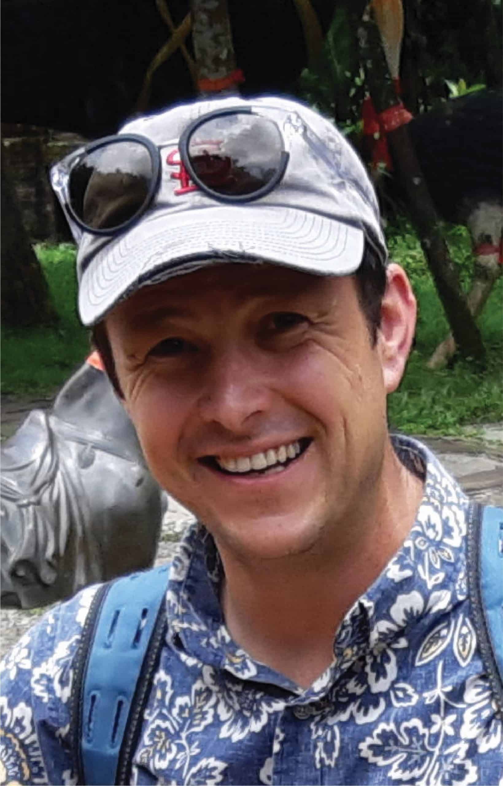 When you see first hand the impact of these sequences on local communities, the need for applied research is absolutely obvious. One of the main changes that was driven by both of the sequences is the understanding that hazard before the event is not the same as hazard after the event. We’ve become better and better at using science to inform future hazard following big earthquakes. We’ve also become better at quantifying the influence of differences in geology and the particular characteristic of individual earthquakes on the resulting strong ground shaking.
Q. The research involving synthetic earthquakes has led to collaboration with colleagues in Taiwan. Can you tell us more about this collaboration?
For the last six or eight years, we’ve had a close three-nation collaboration with Taiwan and Japan that has focused on seismic hazard. All three countries face similar geohazard challenges. Through this collaboration, we’ve realised that many of the benefits of our RNC2 research program are also applicable to Taiwan. We decided to move forward together, pooling our talents to make better outcomes for both counties. I recently undertook a visiting professor position in Taiwan to help launch the project and now both we and Taiwan are well on our way.
Q. Looking beyond Phase 2 of the Challenge, what future avenues of research would you like to pursue?
I’m particularly interested in understanding the ways in which we can use sophisticated geophysical analyses (that we currently only apply in academic ways well after the response need has passed) to produce real-time products that can be used to save lives, limit risk and improve recovery as the event is happening and immediately after it.
