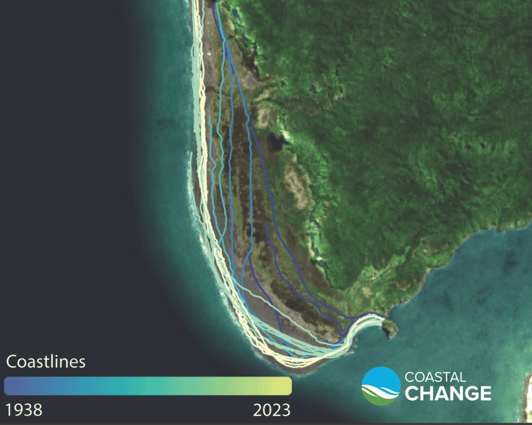
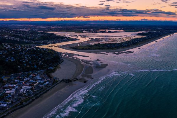
Our ‘New Zealand’s Changing Coastline’ project team at the University of Auckland has released their Coastal Change dataset and website, representing New Zealand’s first comprehensive assessment of coastal erosion since the late 1970s. The project has been a major effort over five years involving more than 40 researchers. The resource captures coastal changes over the past 80 years, with 10-metre interval data points constructed from local-scale mapping. This high level of detail ensures the dataset is both locally relevant and scalable, from nationwide trends to individual properties. In a media story, Prof Mark Dickson said, “For the first time in decades, we have a comprehensive, nationwide baseline that will aid in better decision-making and planning for coastal hazards and climate change adaptation.”
The team have circulated regional datasets to councils, and held in-person and online workshops attended by councils, central government agencies and consulting firms. All the datasets have now been made available via an attractive, public-facing website, alongside science information about coastal change presented in accessible language. Team members have developed guidance for tangata whenua, containing case studies on how the datasets have been used by Māori communities. Councils provided with their coastline data earlier in the project are continuing to use it to inform their coastal management and planning activities, including Tasman District Council, Taranaki Regional Council and Northland Regional Council.
The Earthquake & Tsunami team have been involved in numerous spinoff projects and opportunities stemming from their successful earlier development of an earthquake cycle simulator for New Zealand, and the resultant synthetic earthquake catalogue.
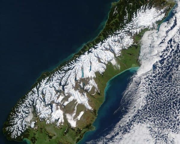
One of the useful applications of the work has been the provision of evidence-based scenarios for response planning. The team supplied Alpine Fault earthquake scenarios from the catalogue, between magnitude 8.05–8.17, to the AF8 Rū Whenua Scenario Working Group, for the Rū Whenua Tier 4 National Alpine Fault Exercise held in June and July 2024.
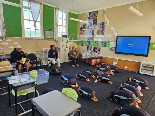
The team earlier provided NEMA with a scenario involving a m9.1 Hikurangi Subduction Zone earthquake and tsunami, which was used as the basis for central government catastrophic planning (CATPLAN) exercises at the end of 2022. While this planning was initially confidential, over the last year NEMA has brough these discussions into the public domain. The scenario underpinned advice in NEMA’s Briefing to the Incoming Minister, and senior NEMA officials Sarah Holland and Prof Tom Wilson spoke about the planning and the scenario behind it at our Te Tai Whanake symposium in May.
A key programme of work leading on from the RNC Earthquake & Tsunami synthetic earthquake catalogue is the development of a National Tsunami Hazard Model for New Zealand. The work will be led by GNS Science (under the leadership of Dr Bill Fry) with funding from the Natural Hazards Commission Toka Tū Ake. The first stage of the project, which runs to March 2025, involves developing the framework for a New Zealand-wide physics-based probabilistic tsunami risk model. To test the framework, a case study will be developed for the Wellington region to quantify probabilistic loss estimation from possible tsunami inundation. This is a significant opportunity that would not have been possible if not for the successful RNC Earthquake & Tsunami programme and the numerous applications of the synthetic earthquake catalogue for seismic hazard modelling to inform risk-based decision making.
In recent years researchers from our Weather & Wildfire programme, led by NIWA’s Dr Richard Turner, have used high-resolution cyclone modelling techniques to model potential cyclone tracks across Tāmaki Makaurau Auckland. The team has produced realistic scenarios of cyclonic weather, which has enabled better assessment of severe weather hazards (heavy rainfall, strong winds, coastal surges, and landslides) and resulting impacts for our largest city. Additionally, engineering modelling has been undertaken to look at the vulnerabilities of high-rise buildings in the central business district to severe wind, which provides a basis for mitigation efforts to reduce future damage and disruption.
This year, the team have focused on quantifying these hazards and impacts using the modelling tool RiskScape. Researchers have prepared RiskScape-ready hazard layers for coastal inundation, landslides, wind gust, and intense rain from multiple cyclone scenarios impacting Auckland, including Cyclone Gabrielle.
By using RiskScape, the team can build a comprehensive picture of potential storm impacts, such as flooding and damage to buildings. The team discussed the work and shared early findings in a short video. The work will undergo peer review and then be provided to decision-makers such as Auckland Council, emergency managers, and infrastructure providers, to inform preparedness and response strategies.
