In January, the Taranaki Civil Defence and Emergency Management Group Office (TEMO) published a series of posters about volcanic processes associated with Taranaki Maunga. Our Volcanoes team provided science advice for the project, and the information was based on Volcanoes programme research, with support from the National Emergency Management Agency, GNS Science and the Transitioning Taranaki to a Volcanic Future Endeavour programme.
Taranaki Maunga is an active volcano and TEMO’s top priority for response planning. The project team conducted focus groups with council staff and the public and found that people wanted to know two things: what they could do to keep themselves safe during an eruption, and what the impacts of that eruption would be.
The team broke down the complex nature of a volcanic eruption into different processes, each with their own ranges of potential impact and risk in different areas and over different periods of time. Each process then became a separate poster in the series. Danielle Charlton of GNS Science, supported by members of the Volcanoes team, oversaw the design of the posters. To ensure that information was presented clearly and effectively, she used eye-tracking studies of how people view maps to determine where to put the most vital information on the posters. Teresa Gordon of TEMO reports the public response to the posters has been really positive.
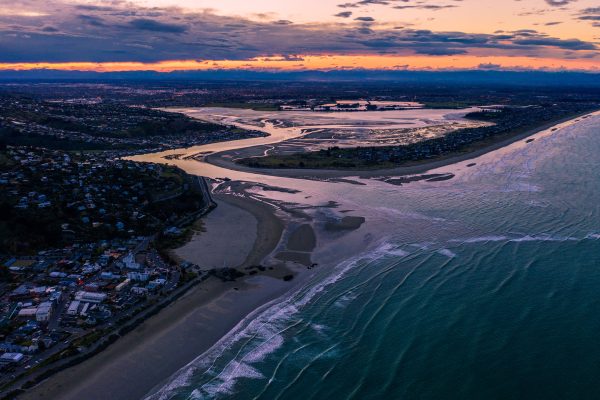
Meanwhile, Dr Darren Ngaru King (Ngāti Raukawa) of NIWA has been leading a long-running collaborative project at Rangitoto ki te Tonga / D’Urville Island to uncover geological evidence of past wave inundations described in Māori oral histories. Drawing upon these histories, researchers and hapū representatives obtained sediment cores from Swamp Bay on the northern side of the island. Analysis of the sediments points to a marine deposit that is thought to have been laid down by a tsunami associated with the 1855 Wairarapa earthquake. By weaving together Māori knowledge and earth science, this project aims to deepen understanding of the likely sources and recurrence intervals for large to great tsunamis across Raukawa Moana / Cook Strait. The project has been a partnership between NIWA, Ngāti Koata Trust and Te Rūnanga o Ngāti Kuia, and has also involved expertise from GNS Science and The University of Auckland.
A related project with Te Rūnanga a Rangitāne o Wairau Trust and Rangitāne o Wairau Settlement Trust led by Dr Darren Ngaru King and Rūnanga chair Corey Hebberd has focused on the production of new Māori narratives about co-seismic tsunami hazard and history from Te Pokohiwi (Wairau Bar) and Mataora-Wairau Lagoon. Our Ākina Te Tū Kaupapa Māori Research Fund is contributing to a ‘science to art’ project that will incorporate kōrero tuku iho alongside scientific knowledge, and traditional as well as contemporary visual and sensory transformations of Māori knowledge. Preparations are underway to hold a Rūnanga-based exhibition to share the outcomes of this work with whānau and the wider public at Rangitāne House in Blenheim later this year. A team led by Prof Regan Potangaroa (Ngāti Kahungunu ki Wairarapa) of Massey University is trying to provide solutions to the complex issue of ‘earthquake-prone’ marae. Approximately 70% of Aotearoa New Zealand’s 1,300 marae expected to have buildings classified as ‘earthquake-prone’ over the next 20 years. While some older marae may exceed the new threshold for structural safety (34% of New Building Standards), this cannot be determined without a structural engineer’s report. The high cost of getting such reports means many marae may not meet the deadline for seismic