Aotearoa New Zealand’s
changing coastline
By Emma Ryan, Mark Dickson and Murray Ford
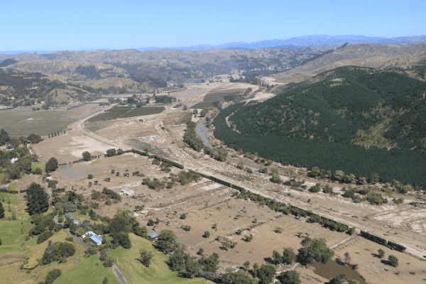
In partnership with Northland Regional Council, researchers within the Coastal programme have been busy mapping Northland’s shorelines using historical imagery to explore patterns of coastal erosion, accretion and stability. Starting in Northland, this is the first step in our national-scale project that aims to map and understand coastal change over the past 70 years throughout the entire country.
Limitations with existing data collection practices make it difficult for scientists and coastal managers to understand patterns and drivers of coastal change around New Zealand and implement relevant management options. Through the ‘New Zealand’s Changing Coastline’ project we aim to fundamentally transform New Zealand’s shoreline change detection from small-scale, sporadic and manual monitoring to national-scale, semi-automated analyses in near real time. This means that councils will have access to consistent, up-to-date shoreline change data that can be meaningfully used in decision making around management and adaptation options.
The new datasets will also facilitate new research into understanding the multiple drivers of shoreline change (e.g. distinguishing between the effects of human modification of the environment, natural changes in sediment supply, sea-level change, and changes in coastal vegetation). The historical imagery and shoreline change datasets also hold value in furthering our understanding of impacts of coastal change on Māori sites of significance at the coast, including pā, marae and urupa.
In 2019 we engaged with LINZ and began a programme to compile historical, mapping-quality, aerial photographs of New Zealand’s coast. Led by Mark Dickson and Murray Ford, a team of 4 coastal scientists, supported by 10 research assistants at the University of Auckland, have developed and implemented detailed and consistent protocols for image acquisition, georectification, and shoreline mapping, with the overall goal of producing a nation-wide database of historical shoreline data for open-coast soft sedimentary beaches (>50 m in length). We are approximately half-way to completing georectification and mapping of Northland’s shorelines, with the view to completing Northland by August. From there, we will tackle the rest of the country, making use of existing council shoreline datasets if mapping methodologies are comparable.
In addition to the historical imagery data, we are making use of recent advances in Earth Observation (EO) satellite imagery that provide new opportunities to transform the way coastal change is assessed. The proliferation of commercial and government EO satellites provides opportunities to examine coastal change at spatial and temporal scale previously inaccessible to researchers. Led by Murray Ford, together with PhD student Ben Collings, we are developing new geospatial methods within a cloud computing framework for detecting and analysing high-frequency coastal change over the past twenty years using imagery from Landsat and Sentinel 2 satellites, along with commercial satellites. Machine-learning and edge detection algorithms will be used to statistically determine the shoreline and map national-scale coastal change.
Acknowledgements: This research is supported in different ways by Northland Regional Council, LINZ, the Resilience to Nature’s Challenges National Science Challenge and The University of Auckland.